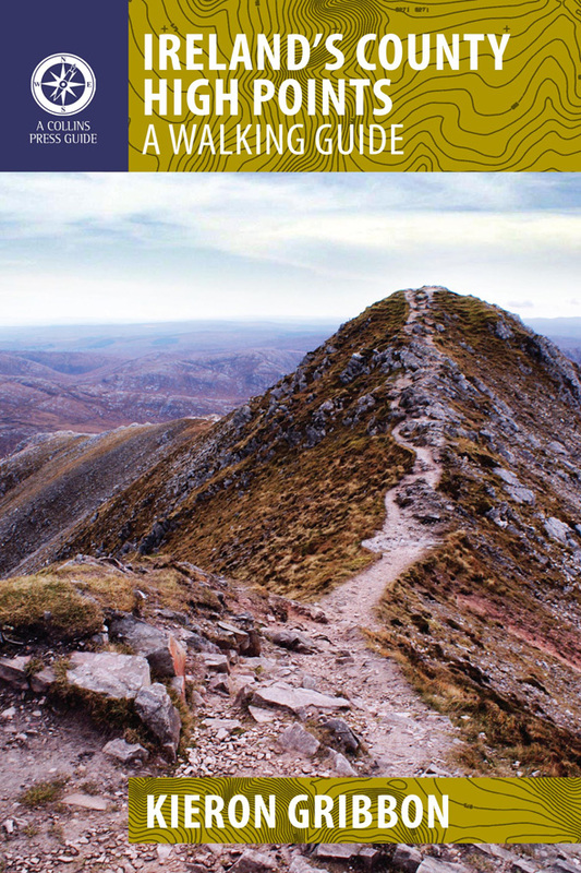
A County High Point is any of the thirty-one locations on the official list of Ireland's major geographical High Points which represents the highest point in at least one of Ireland's thirty-two counties. These thirty-one locations appear on the list as twenty-seven entries (the extra four locations result from Slieve Donard and Moylussa each having two options, and the summits of Galtymore Mountain and Arderin not being perfectly shared between their respective pairs of counties). Ireland's County High Points are occasionally referred to as "Ireland's County Tops" or "Ireland's County Peaks". Walking route details can be found in the book Ireland's County High Points: A Walking Guide*. In the annual All-Ireland Hillwalking Championships, this entire sub-list is worth a total of 306 points.
*The County High Points is the only Irish list with its own dedicated walking guidebook.
*The County High Points is the only Irish list with its own dedicated walking guidebook.
Our logging partner
We invite you to log your County High Point visits with Peakhunter, our official logging partner. Peakhunter is the world's No.1 peak-logging platform (www.peakhunter.com). The Peakhunter app allows you to create a log entry by simply pressing a button on your smartphone while you are physically present at a High Point location. Download the app here.
Find out more about creating Peakhunter log entries...