|
0 Comments
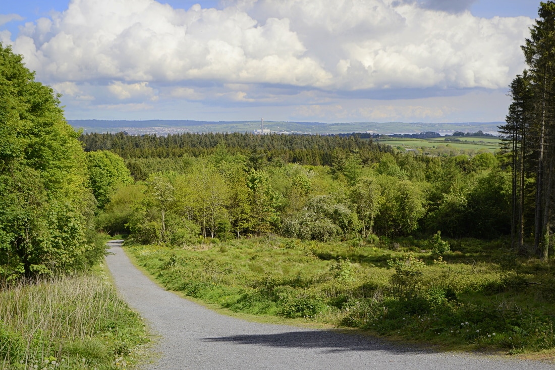
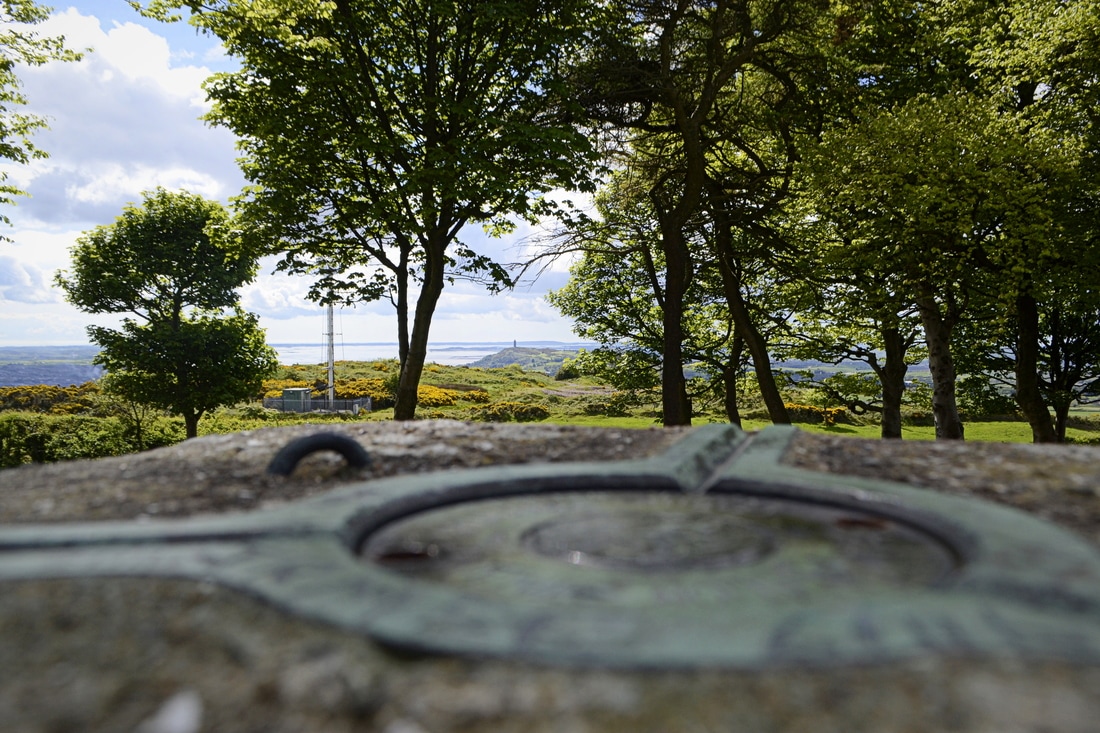
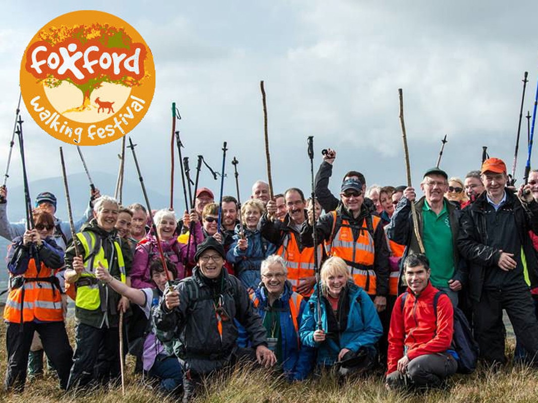
Cairngaver is a little known and relatively low, transmitter-topped hill in north County Down. Its 217m summit is the highest point in the Craigantlet Hills - a small range just northeast of Belfast City. Read Martin McAlinden's story of his second attempt to reach its summit. I’m slightly embarrassed now that I was unable to reach the 217m summit of Cairngaver on my first attempt back in 2009. In my defence, this was before the age of widespread smartphones equipped with hiking apps, GPS and 4G. I’d arrived somewhat ill-prepared following an appointment nearby, without a map and with only the knowledge that the summit lay beyond the top of Cairn Wood, a pretty forest popular with walkers. I’d followed the maze of trails ever upwards without any luck, ultimately reaching a quarry and not finding an obvious route beyond it. I decided to give Cairngaver another go recently, after visiting a friend living in Belfast. This time I was armed with the ViewRanger app which helpfully shows the main trails through the forest. Once again I started from the forest parking area on the B170, an inland route between Belfast and Bangor. I followed the main perimeter trail up to the top of the forest and then, knowing I should be aiming southeast, picked up a minor trail which gave a glimpse of the transmitters and led towards them. The summit area was reached after passing through gaps in a couple of hedges. Having skirted the quarry edge again, I realised that my mistake last time was thinking the summit was to the right of it rather than the left. Despite the various masts and service buildings, Cairngaver’s summit is quite a peaceful place, with a trig pillar topping an old cairn that’s shaded by trees. The views are surprisingly extensive, though you’ll have to walk around a bit to appreciate them. One thing that struck me was that this area of commuter towns is still very green and pretty when seen from above. Sights included part of Belfast and its surrounding hills, the familiar, jagged line of the Mourne Mountains to the south, the mouth of Belfast Lough and the Antrim Coast to the northeast, and across the sea to Scotland and even the Isle of Man; the first time I’ve been sure I’ve seen it from Ireland. Closer to hand was the fairytale Scrabo Tower rising above Newtownards, with the Ards Peninsula beyond. Having taken time to enjoy the various views, I headed back down the same way. This was a very enjoyable trip, not just because of the satisfaction in finally ‘conquering’ this obscure hill but because Cairngaver punches well above its modest height. Read more... This is a short version of an article from Martin McAlinden's own Hike Cycle Ireland blog. For the full story and a larger selection of photographs from Martin's Cairngaver walk, please visit his original article. After a break for one year, the Foxford Walking Festival has returned at an earlier date in the year, the first weekend of June. The change is to try to ensure that in addition to experiencing the beauty of the North Mayo countryside, visitors will this year have an opportunity to enjoy some good weather and sunshine also. The festival will feature six guided walks over the two days with hard, moderate and easy / family walks each day. On Saturday 3rd June, the hard walk is over 16km stretch of the Ox Mountains from Drunsheen, near Bonniconlon, to Boyhollagh, near Attymass. A good level of fitness is required for this walk and water proof boots and rain gear are essential. Saturday’s moderate walk is from Foxford, through scenic Tavnaghmore, to Loch Conn and back to Foxford. An easy, family friendly walk will take participants along the River Moy towards Rinnany village and back to Foxford. Sunday’s hard walk is a climb of Nephin starting from Lahardaun and following a steep route over some rocky terrain to the summit and returning via a completely different route to the townland of Pruglish on the opposite side of the mountain. This climb should only be attempted by those with a high level of fitness and experience of hill walking. Suitable boots and gear are essential. The moderate walk on Sunday is an ascent of scenic Laraganmore Mountain near Foxford while the easy walk is a pleasant stroll through Drummin Wood, adjacent to Lough Cullin All walks start and finish at the Foxford Sports & Leisure Centre (opposite Foxford Woollen Mills). Registration opens at 08:30. Dates for your diary:
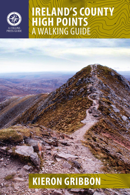
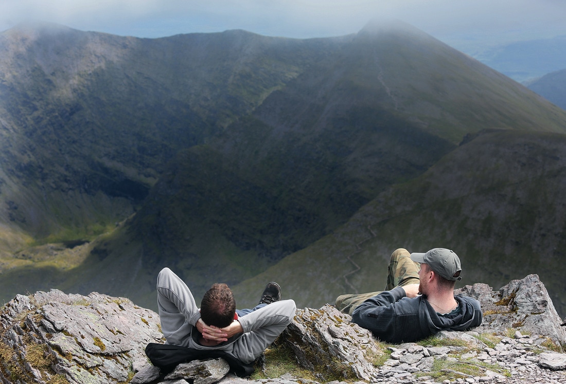
Event links: Associated Gribbon location: This article was contributed by Richard Walter of the Foxford Ramblers Walking Club As part of his mission to develop and promote high point bagging in Ireland, Kieron Gribbon has taken this informal leisure activity and transformed it into a brand new sport for all. The Irish hillwalking community has been informally involved in high point “bagging” for a good few years now. Since the 1990s, County High Point bagging has proven itself to be a particularly popular personal challenge among hillwalkers in Ireland. Its growth in popularity has been most significant since 2012 following the publication of Ireland's County High Points: A Walking Guide by Kieron Gribbon (founder of High Point Ireland). This book was the first serious initiative designed specifically to promote and develop County High Point bagging in Ireland. Soon after the guidebook was published, having recognised the makings of a new sport, Kieron set out to develop the informal activity of high point bagging into a recognised sport.
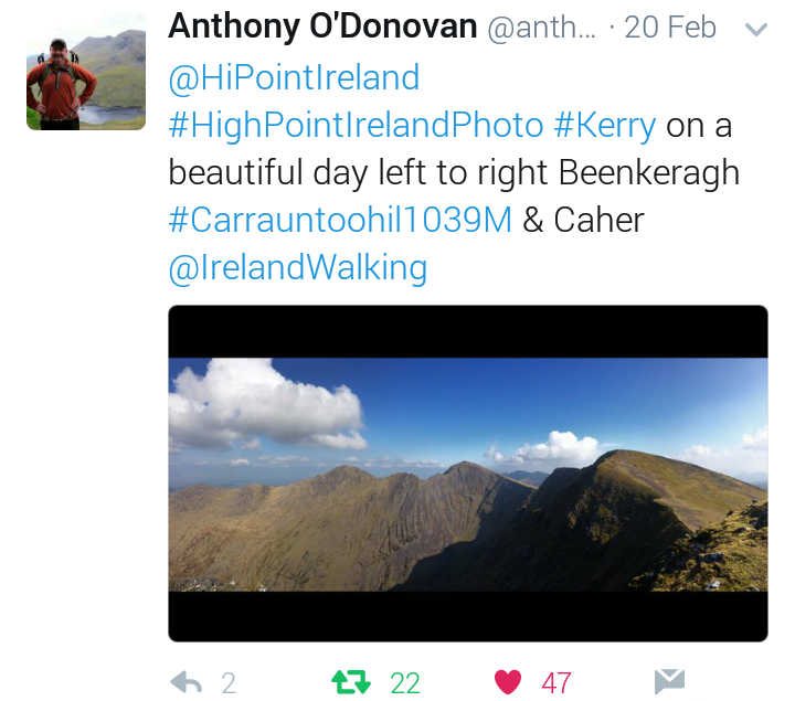
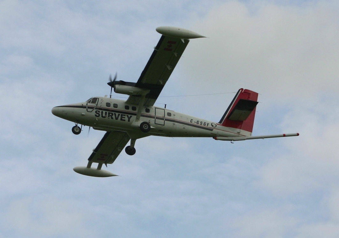
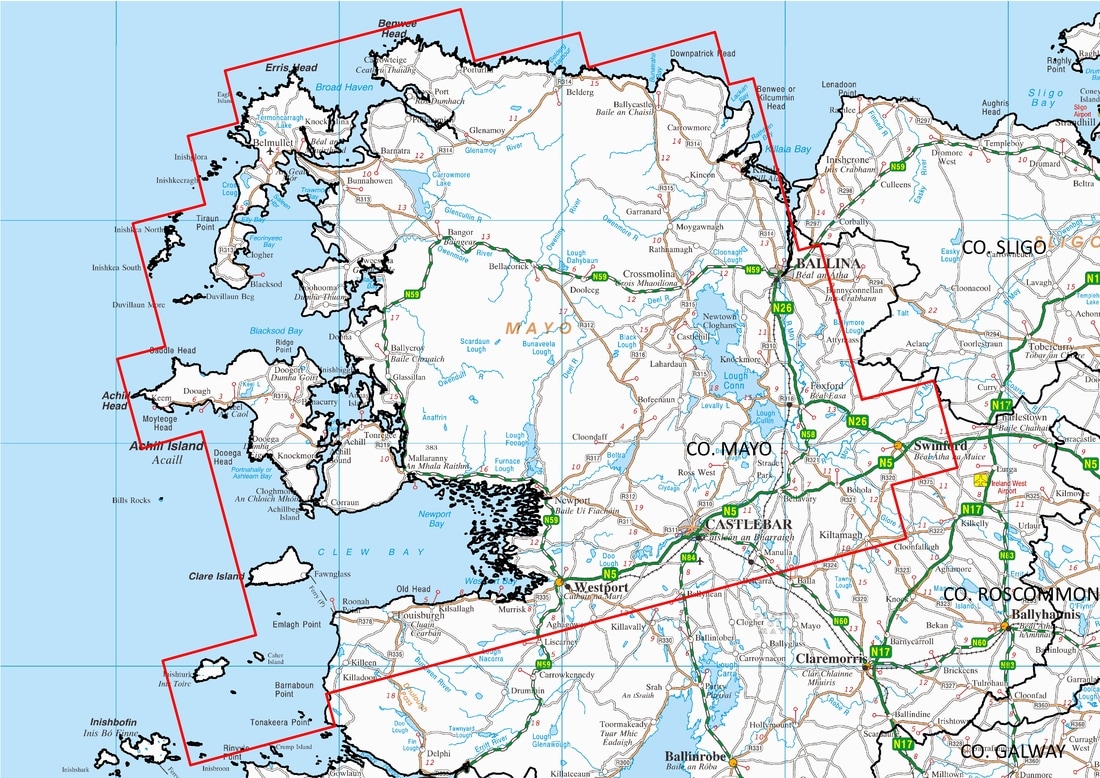
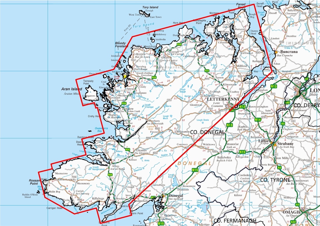
The next stage in his strategy was to publish a comprehensive list of Ireland’s major geographical high points. This was published on 5th December 2015 as the book The Gribbons: A Complete List of Ireland’s Major Geographical High Points and on the High Point Ireland website. The book was published to serve as a permanent record of the Gribbon list’s publication and as an initiative in High Point Ireland’s wider campaign to raise money for Mountain Rescue Ireland. The High Point Ireland website was set up initially to function as an information resource for hillwalkers and geography enthusiasts, and also as a platform to raise money for Mountain Rescue Ireland. The next stage of the strategy was to introduce interesting new initiatives on the website in order to build a community of high point baggers. The initiatives introduced so far have included quarterly photo competitions, awards and certificates, and the Million Metre Challenge. In April 2017, Kieron Gribbon invented the words “Highpointeering” and “Highpointeer” in preparation for the launch of his new sport. On 18th May 2017, the sport of Highpointeering was born and these newly-invented words appeared throughout the High Point Ireland website. The introduction of the High Point Ireland Leagues as the first-ever all-Ireland Highpointeering competitions officially marked the arrival of the new sport. Participants enter these competitions as individuals in the hope of becoming one of the “Elite Ten” highest point-scorers representing their home county and province. In the year-long Counties League, the three counties with the highest combined “Elite Ten” point-scores will receive Gold (1st), Silver (2nd) and Bronze (3rd) awards. Similarly, in the year-long Provinces League, the three provinces with the highest combined “Elite Ten” point-scores will also receive Gold, Silver and Bronze awards. In addition, the Highpointeer of the Year awards competition Gold, Silver and Bronze awards will be received by the three highest point-scoring individuals. In all of these open competitions, men and women, young and old, can compete with and against each other on an equal footing. At High Point Ireland, we are totally committed to an “equality for all” approach to participation in the sport of Highpointeering. As a result of having introduced all these initiatives, Highpointeering has established itself as a true sport with High Point Ireland as its natural all-Ireland governing body. Ireland is the first region in the world where High Point bagging has been developed in this way to successfully make the transition from being an informal leisure activity to becoming a sport in which individuals and sub-regions can compete with and against each other. Ireland’s convenient size, geography and topography have made this transition relatively straightforward compared to how it might be in other parts of the world. Going forward, the next stage in developing the sport of Highpointeering in Ireland is for it to become a Recognised Sport and for High Point Ireland to become its National Governing Body. As the first region of the world to embrace Highpointeering as a competitive sport, Ireland has great potential to be recognised as a key player in its global development. In the future, other regions may even create their own Highpointeering governing bodies based on the High Point Ireland model. Voting has now closed for the Spring 2017 #HighPointIrelandPhoto competition, and we have a winner... We received five entries in our Spring 2017 #HighPointIrelandPhoto on 20th February 2017. After a full week of voting on Twitter, the five entries received a combined total of 97 "likes". Of these, 47 were received by the winning photo of Carrauntoohil submitted by Anthony O'Donovan (@anthonyodonovan). Congratulations Anthony! Your photo will become the header image of the High Point Ireland homepage, blog page, Twitter account, Facebook page, and the High Point Ireland for Mountain Rescue Ireland and Million Metre Challenge fundraising pages during March, April and May 2017. In addition, your winning photo will appear during those months as the header image of The Ireland Walking Guide's Twitter account and Facebook page. It will be also displayed permanently as a winning photo at the bottom of the photo competition page. Thanks to all five entrants for taking part, and to everyone who voted for their favourite in the Spring 2017 #HighPointIrelandPhoto competition. If you would like to take part in the Summer 2017 #HighPointIrelandPhoto competition, please note that entries will be accepted on 20th May 2017. Have you heard of the Tellus survey? It may be relevant to you. The next phase of Tellus – a geological mapping project which collects geophysical and geochemical data on rocks, soil and water across Ireland – is set to ‘take off’ over counties Mayo and Donegal in early March. This latest geophysical phase of the survey involves a low-flying plane, equipped with state-of-the art technology, traversing the skies across County Mayo and western County Donegal. The aircraft, based at Sligo airport, will be in the air from March 2017 to late autumn 2017 (weather permitting). During this time, it will traverse over 42 Gribbon locations (listed in full below) including Mweelrea, the highest point in the province of Connacht, and historic pilgrimage trail, Croagh Patrick. The survey activity will help better identify and map variations in the rocks and soils, which will assist in understanding the local environment, soil management and natural resource potential for these counties. Hillwalkers and outdoor enthusiasts are advised that the aircraft will fly at a level of 60 metres over rural areas (approximately eight times the height of a standard two storey house), rising to 240 metres over urban areas. The sound of the plane is similar to that of a passing lorry; however it may startle sensitive livestock such as horses, pedigree cattle, sheep-in-lamb and poultry flocks. As it is vital to raise public awareness of the project, particularly amongst farmers and animal owners - the Tellus team is delivering an ongoing communications campaign across the regions. If you have any concerns about the survey, particularly if you own sensitive livestock, or if you are interested in finding out more about the project, you can contact the Tellus Freephone information line on 1800 303 516 or visit www.tellus.ie. You can also follow Tellus on Twitter, @TellusGSI. The Tellus survey will be flying over/in close proximity to the following Gribbon locations in Co. Mayo and Co. Donegal during March –to late autumn 2017:
This article was contributed by the Tellus survey team. On Twitter, voting is currently underway to decide which #HighPointIrelandPhoto will become the header image on the website’s homepage and blog page during March, April and May 2017. Five qualifying entries were tweeted on submission day (20th February 2017) of our Spring 2017 #HighPointIrelandPhoto competition, each one demonstrating the beauty of the Irish uplands. For the duration of the voting period, all five entries will be listed as our Twitter likes. The original tweets can also be accessed via the clickable slideshow below. To vote for your favourite, all you need to do is give it a "like" on Twitter. Voting closes at midnight at the end of 27th February 2017, and the winning entry (the one with most “likes”) will be announced the following day. The winning photo will also become the header image of the High Point Ireland Twitter account, Facebook page, and the High Point Ireland for Mountain Rescue Ireland and Million Metre Challenge fundraising pages during March, April and May 2017. In addition, the winning photo will appear as the header image of The Ireland Walking Guide's Twitter account and Facebook page. It will be also displayed permanently as a winning photo at the bottom of the photo competition page.
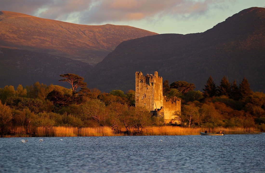
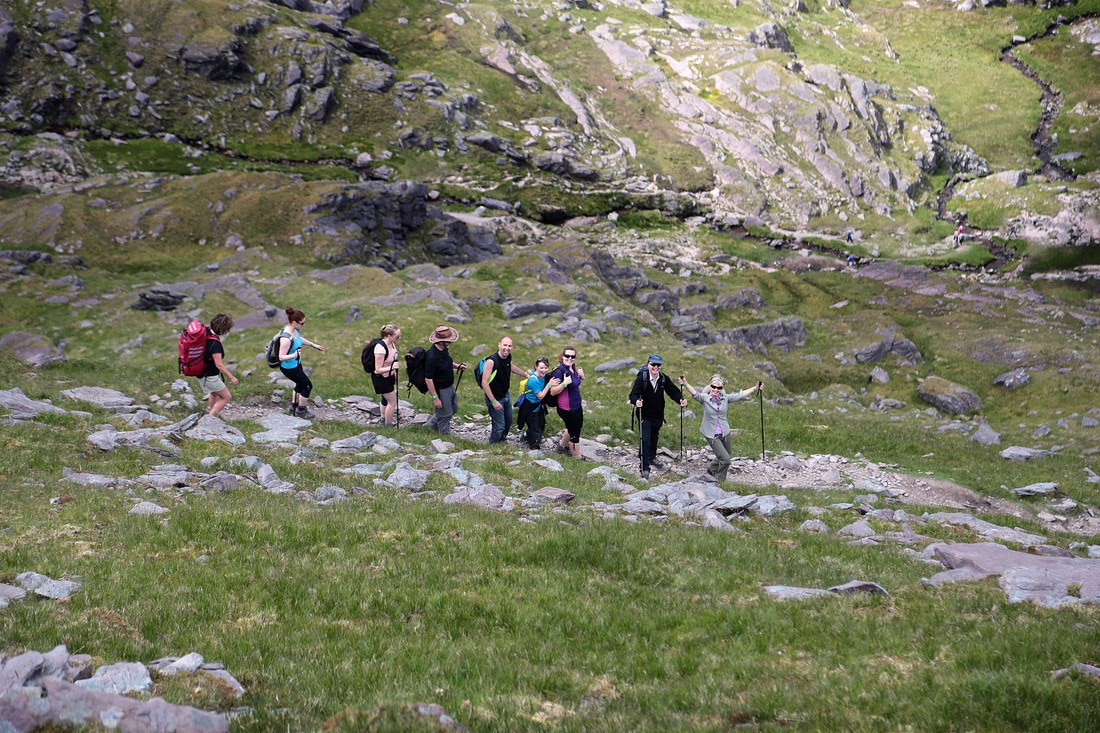
Good luck to our five entrants, and thanks to everyone for getting involved. Discover the hidden valleys, mountains, reeks, lake shores and all that is beautiful and untamed about Kerry and Killarney National Park. This year’s Killarney Walking Festival takes place from Friday 9th June to Sunday 11th June 2017. The organisers have included some new signature treks - The ‘Peaks of the Reeks’ including the iconic Carrauntoohil and Coomloughra Horseshoe treks, and Ross Castle and Innisfallen Island Tour. The Festival is a chance to enjoy a weekend of long relaxing guided walks and boat trips. This year’s signature walk is a Tour of Ross Castle and Innisfallen Island. Visit two of Killarney’s most famous landmarks, starting with a guided tour of Ross Castle which is maintained and furnished as it was in the 15th Century. Built by the O’Donoghue Ross Chieftains in the 15th Century, it remained their defensive stronghold for over 100 years until it was taken by the armies of Oliver Cromwell under General Ludlow in the year 1652. Following on from your visit to Ross Castle, enjoy a boat trip to the early Christian monastic site and oratory on Innisfallen Island where St. Fionán Lobhar founded his 6th century monastery. It was here that the world renowned Annals Innisfallen were compiled. The visit to Innisfallen Island will include a one-hour guided walk of the island with panoramic views of the surrounding Lough Leane. Other Signature walks include, The Coomloughra Horseshoe trek along the MacGillycuddy's Reeks, Summit of Carrauntoohil, Mangerton and Torc Mountain Paths, Gap of Dunloe Boat Trip, Tomies and Purple and the Old Kenmare Road, This year’s Charity Walk in aid of Kerry Parents and Friends, is a Sun ‘SET’ on Strickeen, on Friday evening, June 9th, departing Kate Kearney’s Cottage at 7.30pm. Strickeen is part of MacGillycuddy’s Reeks mountain range, at 440m; it follows a path to the top until an ancient cairn/ritual greets the walker. Here is where the ‘craic’ begins - Walkers will be asked to dance an entire Kerry Polka on the summit, just bring a tin whistle and a bodhrán! The Charity Kerry Parent and Friends plays an enormous role in the lives of families in Kerry living with intellectual disability. John O’Sullivan, Reeks Lodge and Guiding said “This festival is for everyone - families, walking clubs and anyone who loves the great outdoors. The schedule of walks has something for all ages and abilities, from strenuous category three hikes to easy low level category one walks. From the challenging MacGillycuddy’s Reeks hike to the leisurely wood trails and Innisfallen Island by boat. There are 10 guided walks to choose from in all”. Also guiding are the experienced Killarney Guides Ray and Mary Walsh of ‘Walk with Me’. Dates for your diary:
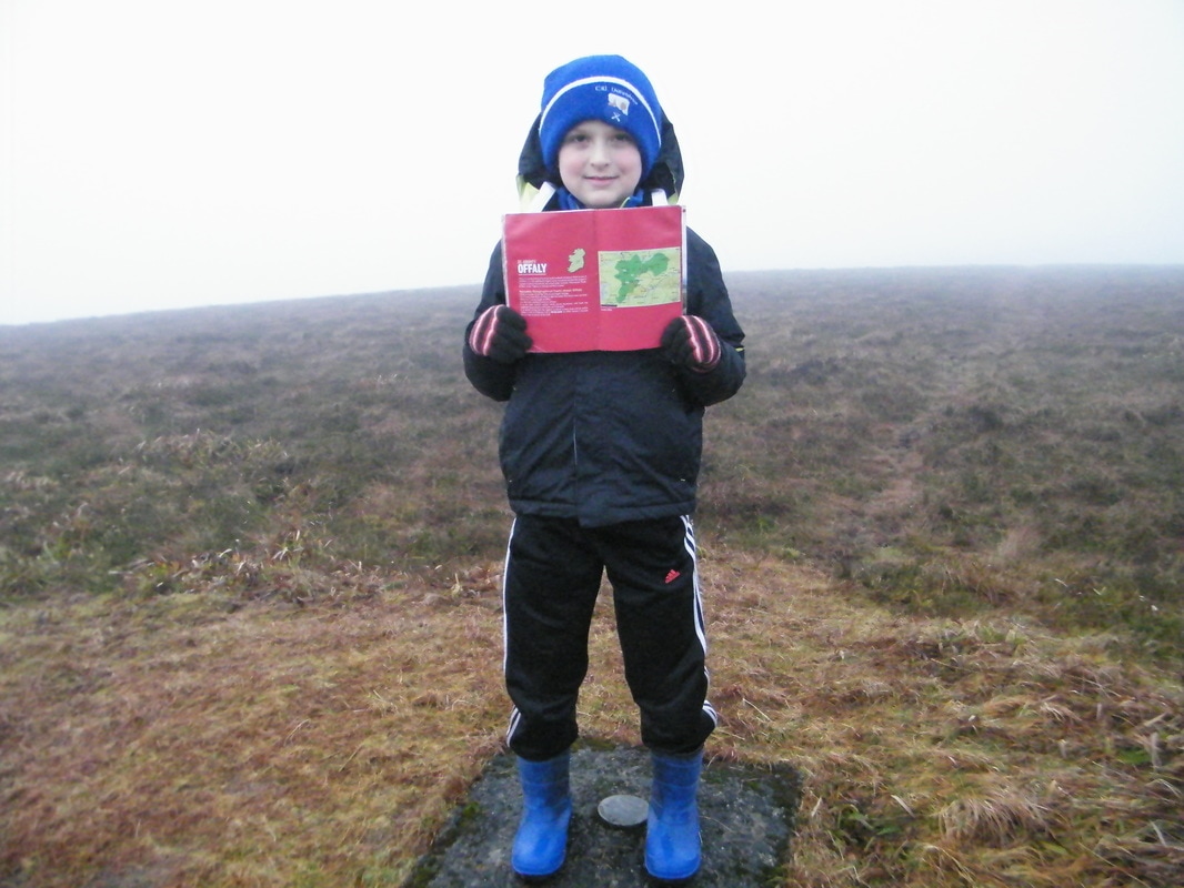
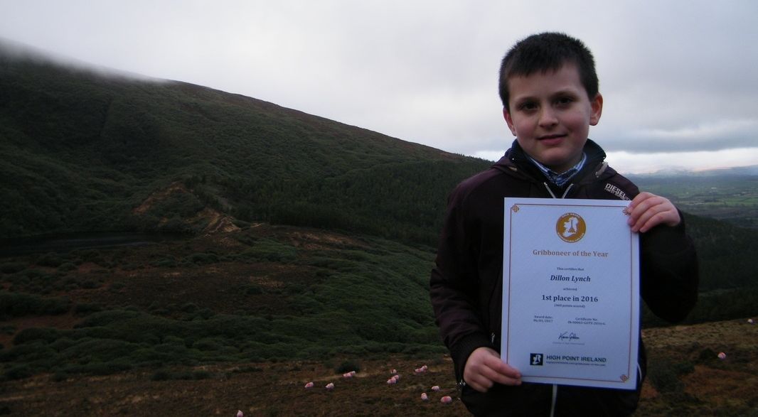
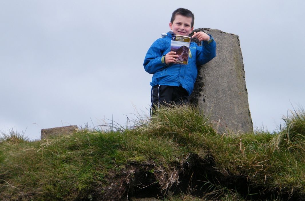
Event links: Associated Gribbon locations: This article was contributed by the Killarney Walking Festival event organisers In 2016, Dillon Lynch from County Cork became the youngest person to visit all the County Gribbons. Here, Patrick O’Brien tells us about his son’s follow-up challenge: to earn High Point Ireland's first-ever Highpointeer of the Year Gold Award.
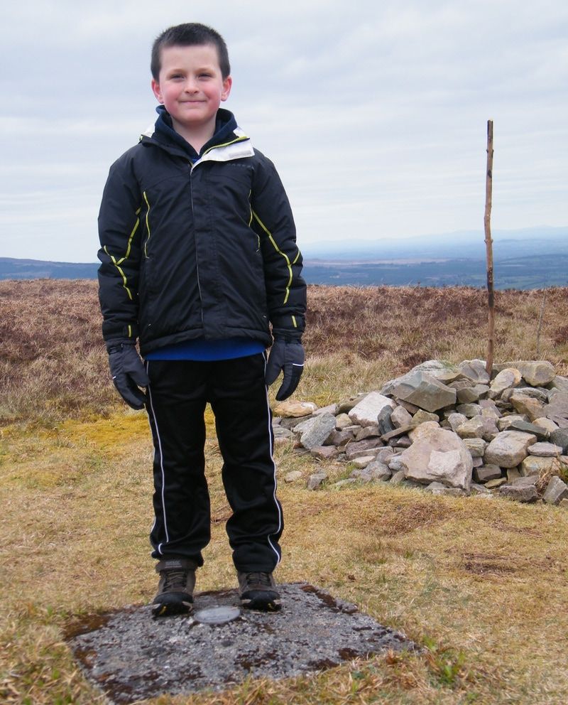
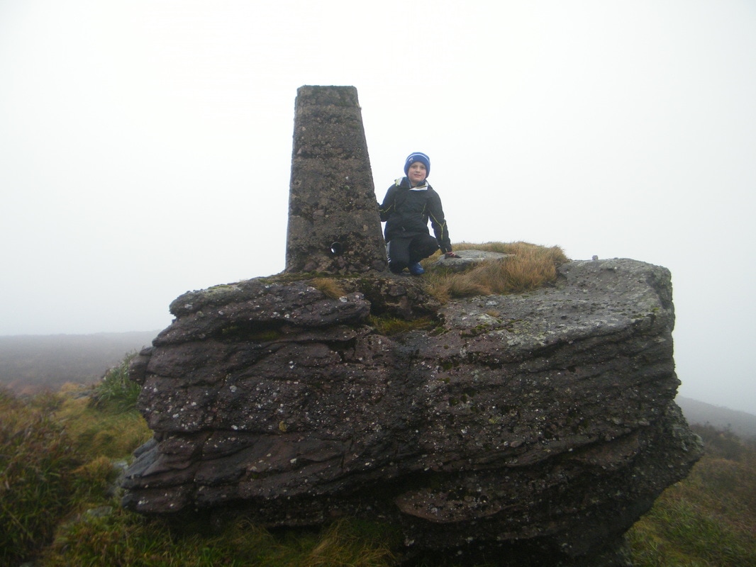
The rules for Highpointeer of the Year allows participants to earn points for up to 4 visits to each of the 186 Gribbon locations during the same calendar year (provided there are at least 5 whole days between the repeat visits). We identified the nearest Gribbon locations and set out a plan to fit in as many visits as possible before the end of December. We started on the evening of 9th December 2016 by climbing Knocknaskagh the highest point in the Nagles Mountains (#Knocknaskagh427m). Over the following 22 days up to and including 31st December we had walks on 11 days comprising 15 visits to 7 different Gribbon locations totalling approximately 83km distance and 4,500m ascent. Most of these walks started early in the morning so we couls accommodate School, Karate, Coder Dojo and Christmas preparations. A measure of the commitment by Dillon here is the fact that he was on the summit of Galtymore Mountain 3 times in December, all before 9am (on one of those days he also climbed to the summit of Knockmealdown). The additional walks he completed during December 2016 were:
In early January, High Point Ireland announced the winners. Dillon was thrilled with first place and delighted to receive another Gold certificate. This time, it was for the Highpointeer of the Year 2016 Gold Award. Looking ahead to the rest of 2017, I am sure we will have many more adventures on the hills and mountains of Ireland. Even though they are not too far from us, we have never been to the Comeragh Mountains. They are definitely on our visit list. We must climb Fauscoum while we are there. Further afield, who knows what other parts of Ireland we will visit for weekends away and Summer holidays. Wherever we decide to go, one thing is certain: the Gribbon list will be consulted. Words and photos contributed by Patrick O'Brien.
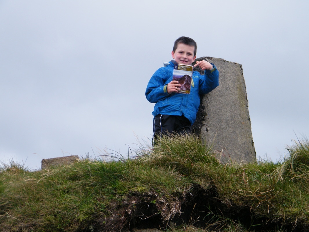
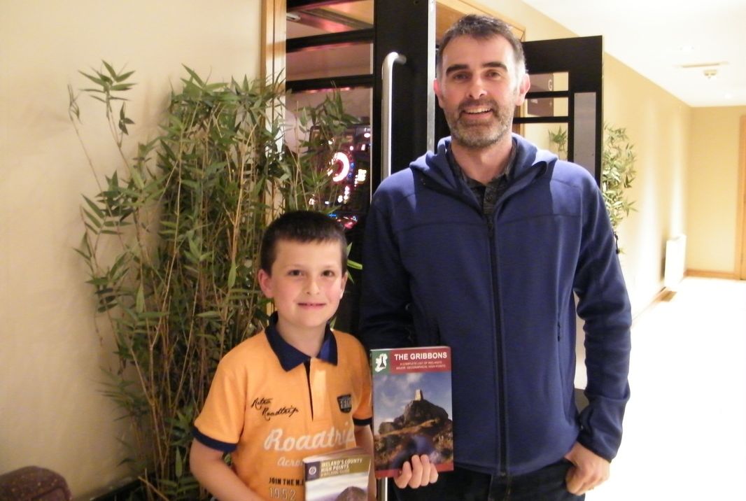
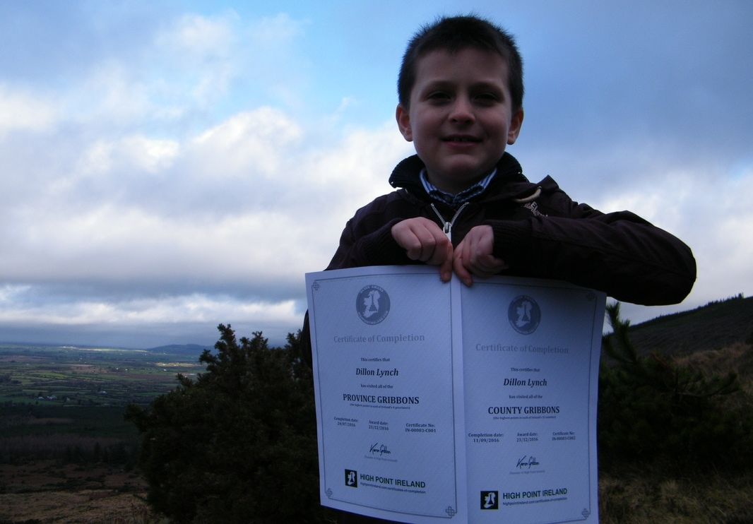
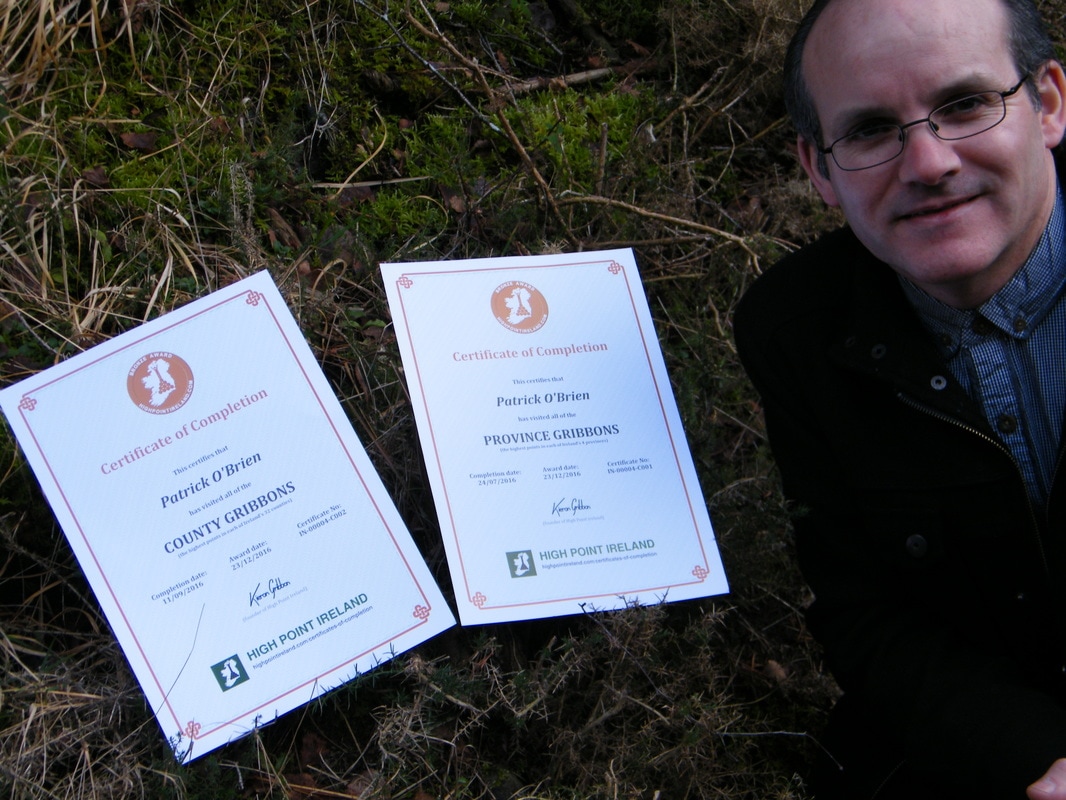
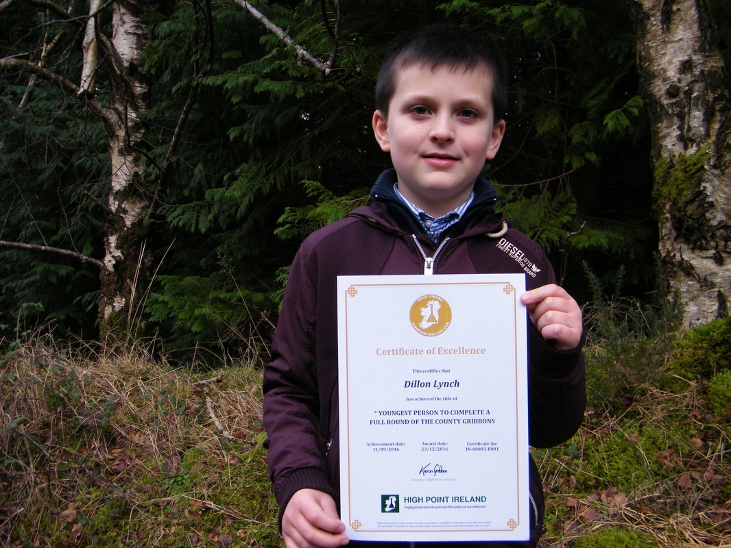
Read about Dillon's earlier efforts to become the youngest person to visit all the County Gribbons Visiting Ireland's County High Points (the County Gribbons) has become a popular challenge for Irish hillwalkers in recent years. Here, Patrick O’Brien tells the inspirational story of his son’s 32 Counties High Point Challenge. Dillon Lynch from Kildorrery, Co. Cork, joined me (his dad) in the challenge of climbing to the highest point in each of the 32 counties of Ireland. At the start we were just climbing local mountains, unaware that such a challenge even existed. When we learned of the challenge, we realised we had the County High Points of Munster almost complete. Beginning on 26th June 2015, our 32 County High Point Challenge would involve traveling the length and breadth of the country, and walking nearly 200km in mostly mountainous terrain. With skills learned in a Coder Dojo Class, organised and run for free by Cloyne Diocesan Youth Services (CDYS) in Mallow, Dillon created the 32 Counties High Point Challenge website to document and keep track of his challenge. We also maintain a Facebook page for the challenge. Returning to the challenge in Spring 2016, we decided to use the challenge to raise funds for Kildorrery Karate Club and Cloyne Diocesan Youth Services (CDYS) Mallow. Sponsorship cards were in circulation over the summer but as a second method of fundraising, the website also had an area for businesses to advertise. Each advert appeared on all pages of the website and were visible as people browsed the website. The adverts were very successful, adding greatly to the funds raised. Dillon proved himself as quite the salesman, presenting his idea and website to the potential businesses. On 11th September 2016, at the summit of Trostan, Dillon completed his 32 Counties High Point Challenge. By doing so, he also became the youngest person to have climbed all the County High Points in Ireland. Dillon was delighted to meet with Kieron Gribbon, the author of Ireland's County High Points: A Walking Guide (a must have book for anyone doing the County High Point challenge). Kieron took time out to meet Dillon in Belfast on the evening of the final climb. We all had a great chat for a few hours about the book and the many adventures of the challenge. The real end of the challenge took place on Saturday 15th October with an interview on CRK FM followed by a celebration and cheque presentation in Sheahan’s Bar Kildorrery. Dillon began by thanking everyone that supported the fundraising, anyone that helped with the completion of the climbs and everybody involved in preparing for the celebration night. He then presented a cheque of €1,670 to Cloyne Diocesan Youth Services in Mallow followed by a cheque for the same amount to Kildorrery Karate Club. Dillon went on to congratulate his club colleagues of Kildorrery Karate Club on their recent success in the SKDUN World Karate Championships in Bulgaria. Members of the club displayed some of their karate moves for everyone to enjoy. A great night was had by all with great music singing and dancing provided by Dillon’s sister, Rachel Lynch and her friends, Ciara Dunne, Micheál Fogarty, Anna O’Sullivan, Éanna Hyland and with lots of amazing participation by others making the night even more spectacular. Kieron Gribbon, as founder of High Point Ireland, awarded Dillon and I “Certificates of Completion” for having visited each of the Province Gribbons and County Gribbons. Dillon earned Silver certificates as he had a photo at every high point and I was happy to earn a Bronze cert in each case. Dillon also received a special “Certificate of Excellence” for being the youngest person to complete a full round of the County Gribbons. |
Thank you for visiting the High Point Ireland blog: the dedicated news feed of the High Point Ireland website. Feel free to get in touch if you would like to become a guest blogger. Archives
June 2017
Categories
All
|
- Locations
- The Championships
-
Community
- Social media
- Individuals
-
Teams
>
-
County Teams
>
- Team County Antrim
- Team County Armagh
- Team County Carlow
- Team County Cavan
- Team County Clare
- Team County Cork
- Team County Derry
- Team County Donegal
- Team County Down
- Team County Dublin
- Team County Fermanagh
- Team County Galway
- Team County Kerry
- Team County Kildare
- Team County Kilkenny
- Team County Laois
- Team County Leitrim
- Team County Limerick
- Team County Longford
- Team County Louth
- Team County Mayo
- Team County Meath
- Team County Monaghan
- Team County Offaly
- Team County Roscommon
- Team County Sligo
- Team County Tipperary
- Team County Tyrone
- Team County Waterford
- Team County Westmeath
- Team County Wexford
- Team County Wicklow
- Province Teams >
-
County Teams
>
- Supporters
- Charities
- Partners
- Walking information
- Travel information >
-
Initiatives
- Travel Guide
-
Extra
Use our affiliate links
All of our Sport Hillwalking initiatives are 100% free for you to take part in. However, please note that we do have significant operational costs which we cover on a voluntary basis ourselves. The long-term development strategy for High Point Ireland, Sport Hillwalking and our growing family of independent Irish information websites will continue to be implemented over the coming years and for as long as it takes until our strategic goals are achieved. To help us speed things along, we'd be most grateful if you would consider using the affiliate links we have set up on The Ireland Travel Guide website to buy your outdoor gear and book accommodation / transport online in the future. Using these links will not affect the price you pay at checkout. However, each purchase / booking you make could send a small commission our way at no extra cost to you. Make no mistake, this is certainly not a get-rich-quick effort, but rather a very slow drip-feed of pennies and cents to partially cover the time, effort and money we continue to invest in our range of independent projects. Thank you for your support.
Our recent news
Connect with us
Supporting good causes
|
Our supporters
|
Our partners
|
Disclaimer
If you are planning to visit any of the locations on the Irish High Point lists, please be aware that Highpointeering, rambling, hill-walking, hiking and mountaineering are risk activities. High Point Ireland and Donard Media (the website's publisher) accept no responsibility for any injury, loss or inconvenience sustained by anyone using this website. Personal safety is entirely the participant's own responsibility.
The inclusion of locations on the official list of Ireland's major geographical High Points is based entirely on each location's ability to meet the necessary criteria for at least one of the eight primary sub-lists contained on this website. It should not be assumed that access is permitted to any of the High Point locations on the list. High Point Ireland and Donard Media recommend that anyone planning to visit any of the High Point locations on the list should check for potential access restrictions and to request permission from the relevant landowner(s) in advance.


 RSS Feed
